Continuation de l'Histoire générale des voyages ou collection nouvelle, 1º des relations des voyages par mer, 2º des voyages par terre, faits dans toutes les parties du monde.
Year: 1768
Edition: First edition
Publisher: Paris: Rozet
Category: Asia
Vol. 69: Iceland and Jan Mayen Island, Siberia and Mongolia, 12mo, 3 ƒƒ, pp. cxii, 536
In contemporary full-mottled calf, gilt decorations on the spine. Edges red. Marbled endpapers. Binding near spine quite worn, head of spine chipped, corners bumped, spine nicked but still strong and holding well, Library stamp on title page and last page, however, the contents further being bright, clean and complete with the 4 folding maps by Bellin, 3 folding plans, 3 folding plates and 7 full page plates. All maps and plates in excellent condition too.
Originally the “Histoire générale des Voyages” was published in 20 4to volumes, followed by a 12mo edition. Later on this 12mo edition was expanded with extra volumes, of which this is one, describing the latest discoveries, the complete series being published between 1749 and 1789.
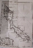
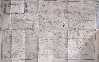
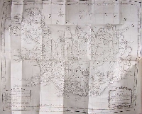
This volume contains 4 maps by Bellin, of which the largest, Siberia, measures 30.5 x 46.5 cm. The map of Iceland measures 32 x 40 cm, the one of Kamchatka 26 x 28 cm, while the map of Jan Mayen Island is 17.5 x 23 cm.
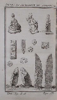
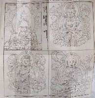
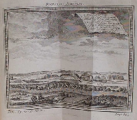
In addition there are plans of Mongolian temples, plates with animals, artefacts, etc. and a large folding engraving of different deities in the temple of Ablaikit with Mongolian inscriptions measuring 26 x 25.5 cm.
A very interesting work. Sabin 65403 (for the complete series).
Click on a picture to enlarge.

