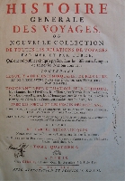
Histoire generale des voyages ou nouvelle collection de toutes les relations de voyages par mer et par terre, qui ont été publiées jusqa’â present dans les différentes langues de toutes les nations connus: contenant ce qu’il y a de plus remarquable, de plus utile, et mieux averé dans les pays ou les voyageurs ont penetré, touchant leur situation, leur etendue, leurs limites, leurs divisions, leur climat, leurs productions, leurs lacs, leurs rivieres, leurs montagnes, leurs mines, leurs cités & leurs prinpales villes, leurs ports, leurs rades, leurs edifices, &c. Tome quatriéme: Description de la Guinée; Description des Côtes, depuis Rio da Volta jusqu’au Cap Lopez-Consalvo; Voyages dans la Guinée & au Royaume de Benin; Voyages dans les Royaumes de Congo & d’Angola; Description des Royaumes de Loango, de Congo, d’Angola, de Benguela & des Pays voisins.
Year: 1747
Edition: First edition
Publisher: Paris, chez Didot
Category: Africa
Calf, 4to. half-title, title, map, pp 648.
Full contemporary calf, the spine richly gilt, divided in six compartments by five raised bands with titled labels in the second and third compartment, marbled endpapers. Fine woodcut head- and tailpieces plus initials throughout.
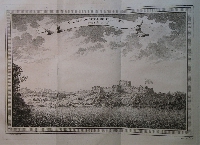
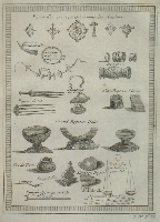
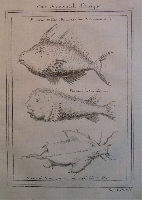
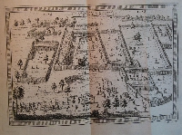
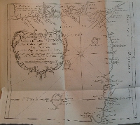
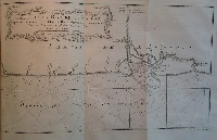
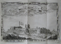
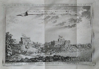
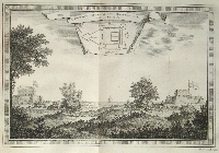
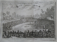
This work was published in 20 volumes, each self containing, of which this is volume no. 4. Although the whole work is richly illustrated, especially this volume is rewarding with the many plates and maps. There are 8 maps, of which 7 folding; 8 plans, of which 1 folding and 36 plates and views of which 12 folding, resulting in a total of 52 maps and plates. The contents generally are in fine condition, while of the exterior the corners and the head of the spine are slightly bumped. Two handwritten names on the title page and one on the final page. One quire is protruding and pagination is as follows:
2 ƒƒ, pp. 1-56, 53-280, 289-576, 577*-580*, 573*-576*, 577-580, 581*-584*, 581-648.
Page nr. 155 is misnumbered 255 and page nr. 211 is misnumbered 111. Pages 281-288 are physically missing, further the text is complete.
This volume describes the coasts and countries of Guinea, Benin, Congo, Angola and neighbouring countries.
Click on a picture to enlarge.

