De Nederlandsche Stad- en Dorp-Beschrijver.
Year: 1793
Edition: First edition
Publisher: Amsterdam, H.A. Banse
Category: Arts &tc.
Vol. 1: 'T Eiland van Dordrecht, de Hoeksche waard, de Zwijndrechtsche waard, de Riederwaard, en 't Land van IJsselmonde.
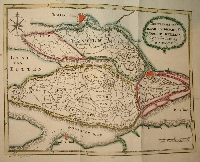
8vo, x, 2, 16, 12, 4, 4, 8, 16, 12, 16, 13, 16, 8, 8, 16, 16, 8, 4, 15, 1, 16, 8, 8, 8, 16, 16, 8, 16, 16, 16, 4, 16, 8,16, 8. With engraved folding map, hand coloured in outline, 29 engravings. Contemporary paper covered boards.
Lacking the engraved title page, binding quite worn. Vol. 1 only (of 8).
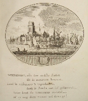
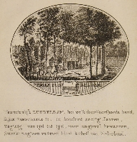
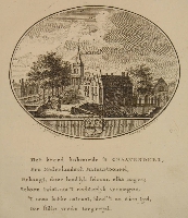
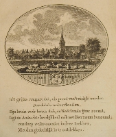
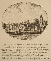
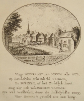
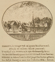
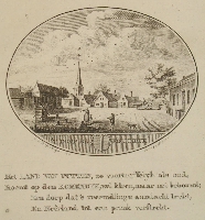
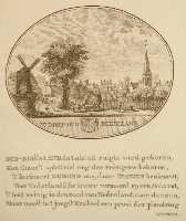
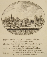
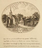
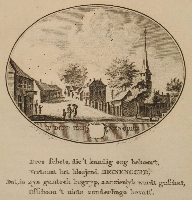
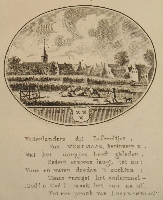
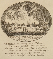
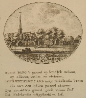
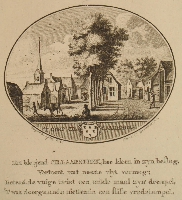
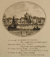
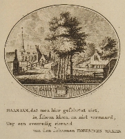
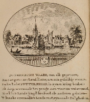
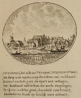
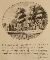
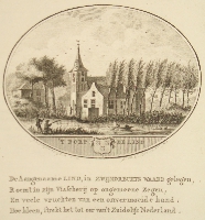
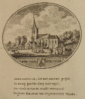
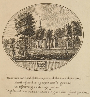
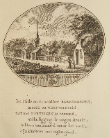
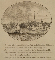
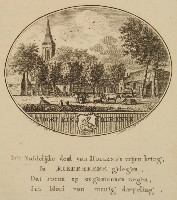
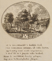
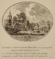
Topographical description in Dutch language of the island of Dordrecht, Beijerland and Ijsselmonde (Province of South Holland). The cities and villages are depicted in an oval-shaped, engraved vignette (by Anna Catharina Brouwer) with a few rhymed lines underneath, whereas their situation, origin of name, main buildings, commerce, inns, government, a few historical facts, etc., are described in usually four, eight or sixteen pages.
Good copy of this attractive and rare book with very clean plates and the paper in sound and crisp condition, however, without the engraved title page.
The sequence of the illustrations of the towns and villages in this volume is as follows:
1 Dordrecht
2 Dubbeldam
3 's-Graavendeel
4 Strijen
5 Buitensluis
6 Zuid-Beiërland
7 Piershil
8 De Korendyk
9 Oud-Beiërland
10 Nieuw-Beiërland
11 Klaaswaal
12 Heinenoord
13 Westmaas
14 Brand in Westmaas
15 Mynsheerenlaand
16 Ciljaarshoek
17 St. Anthonies Polder
18 Maasdam
19 Puttershoek
20 Zwijndrecht
21 Heer Oudlands Ambacht
22 De Lind
23 Heer-Jans-Dam
24 Kijfhoek
25 Barendrecht
26 IJsselmonde
27 Riederkerk
28 Hendrik Ido-Ambacht
29 Rysoort
These volumes are very rare because most of them have been ripped for their attractive, oval shaped copper engravings and only very few copies survived this bad practice.
Originally it was the intention to cover the whole of the Republic of the United Netherlands, however the last part (vol. 8) was published in 1801 and then only Holland (the combined provinces of North- and South Holland) for the greater part had been covered by this work.
Tiele 818.
Click on a picture to enlarge.
