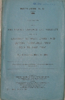
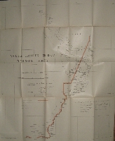
Agreement between the United Kingdom and Germany respecting the boundary between British and German territories from Yola to Lake Chad.
Year: 1906
Edition: First edition
Publisher: London; His Majesty's Stationary Office
Category: Africa
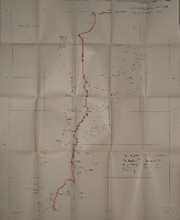
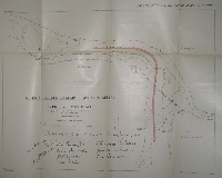
Original blue wrappers, sewn as issued, pp. 10 plus four folding maps, of which three very large: 727 x 611 mm.
Ex-lib copy of the Institute of Historical Research with their withdrawn stamp on the reverse side of the title page and the stamp of the American historian George Louis Beer on the upper side of the wrappers.
Two maps detached, however, all four maps in a fine condition.
Interesting provenance.
Click on a picture to enlarge.
