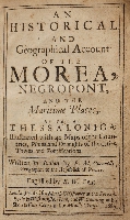
An Historical and Geographical Account of the Morea, Negropont, and the Maritime Places, as far as Thessalonica.
Year: 1687
Edition: First edition
Publisher: London; Matth. Gillyflower
Category: The Levant
Contemporary calf, 8vo., pp. 8, 1-230, 1. Illustrated with 42 plates, maps and plans. The spine divided in five compartments by four raised bands.
The leather worn and rubbed with bumped corners and a little loss both at head and tail of the spine. A small wormhole from the title page up till page 26, affecting just a few letters, but not the legibility. A few pages with short closed tears, about 1 cm in length. One plate with a small restoration in the upper margin, another plate with more extensive restorations and one plate supplied in facsimile.
Page 68 misnumbered 89 and page 213 misnumbered 113.
List of plates as per the plate index:
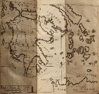
The general map of the Morea
Patras
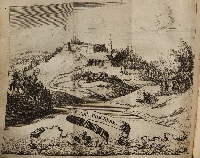
Castel Tornese
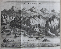
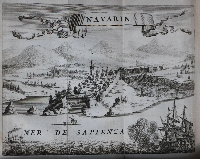
Navarin
Modon
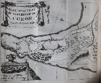
Plain of Coron
Plain of Coron with the incampments
Two prospects of Coron (= 3 plates)
Standard taken before Coron
Horse-tails taken with the standard
Calamata and the battle before it (= 2 plates)
Plain of Zarnata
Profil of Zarnata
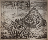
Height of Zarnata
Plain of Chielesa
Plain of Passara
Mysitra or Sparta
Plain of the ruins of Maina
Cape of Matapan
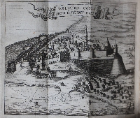
View of Malvasia
Two views of Napoli di Romania
Isle of Corfu
Plain of Santa Maura
Santa Maura with the little isles round it
View of Cephalonia and the chart of the isle (= 2 plates)
Fortress of Asso
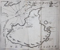
Isle of Zant
Fortress of Zant (facsimile)
Port of Cerigo and Plain of Cerigo (-= 2 plates)
Megara
Port Lion
City of Athens
City of Negropont
The ebb and flow of the Euripus
Plain of Volo
The Dardanelles of Lepanto
Lepanto
The original appeared the year before. This rare edition was translated ("Englished") by R.W. Gent.
Weber II, 812.
Click on a picture to enlarge.
