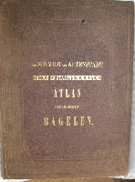
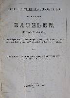
Natuur- en Staathuishoudkundige Atlas der Residentie Bagelen, eiland Java.
Year: 1874
Edition: First edition
Publisher: Leiden; D. Noothoven van Goor
Category: Asia
Original blindstamped cloth, folio, 489 x 358 mm, with the titles in gilt on the frontboard. Rebacked with a plain cloth spine matching the colour of the boards. Booksellers ticket on inner frontboard. A small, stained dent at the upper side of the front board and the title page lightly foxed and with an unobtrusive crease. One map with a 2 cm closed tear in the right margin and one map with a 2 cm closed tear in both margins. The maps and the text clean.
A very detailed atlas with a lot of statiscal nformation about the population and the organisation of the Regency of Bagelen, nowadays named the Purworejo Regency at the island of Java, Indonesia.
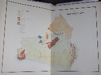
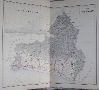
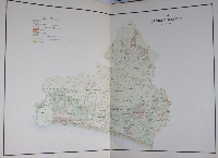
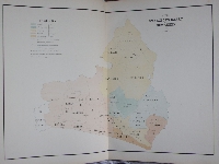
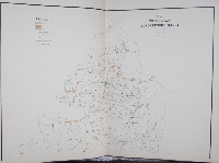
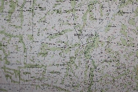
The atlas contains 12 numbered double page maps on 19 sheets and 1 unnumbered map.
The maps are printed on plano sheets with a size of 480 x 668 mm.
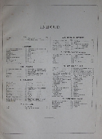
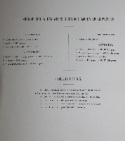
The titles of the maps are as follows:
I - Geologische Kaart (Geological map), printed on 1 sheet.
II - Bergkaart (Mountain map), printed on 1 sheet.
III - Rivier en Kanaalkaart (River and canal map), printed on 1 sheet.
IV - Digtheid der Bevolking (Population density), printed on 1 sheet.
V - Toename der Bevolking (Population growth), printed on 1 sheet.
VI - Landbouwkaart (Agriculture map), printed on 1 sheet.
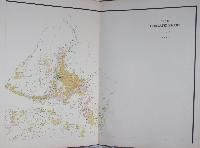
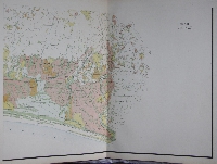
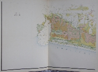
VII - Irrigatie Kaart (Irrigation map), printed on 4 sheets. {1}
VIII - Overzigts Kaart (Overview map), printed on 1 sheet.
XI - Produkten Europeesche Mark (Products for the European market), printed on 2 sheets.
X - Gemeente Kaart (District map), printed on 4 sheets.
XI - Verkeer Wegen (Traffic roads), printed on 1 sheet.
XII - Pasars, printed on 1 sheet.
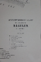
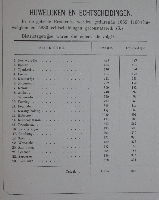
NN - Afstandwijzer en Kaart der residentie Bagelen (Distance map), printed on 1 sheet.
{1} All four sheets shown in the photographs below (Pictures nr. 9 ~ 12).
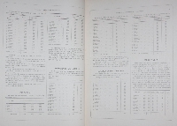
The whole followed by 42 pp.of text with an abundance of statiscal information about the Regency.
An extremely rare atlas of a very high quality with large, detailed maps. No records in ABPC anf just one (our copy) in RBH.
At the time of publication the price for a copy was as high as ƒ 25.- (Dutch guilders), quite an amount at the time.
Tiele 972.
Click on a picture to enlarge.
